
Mililani Mauka Previous-Resident Sources
The best starting source depends on the date. Present-day parcel and assessment records establish the modern identifier. Recorded deeds carry that parcel backward through transfers. Directories, census schedules, obituaries, permits, maps, and development files add household or place context, but none should be made to say more than its fields support.
| Source | Years It Covers | Where Held | What It Shows |
|---|---|---|---|
| BOC online index | Generally 1976-present | Online account and search | Recorded parties, TMK, date, and instrument reference |
| BOC older records | 1845 archive context; pre-1976 office route | Punchbowl reference room or written request | Deed books, indexes, descriptions, and copies |
| HSA / UH directory scans | Selected runs, 1880-81 through 1924 | State Archives page and UH eVols | Historical Honolulu names, addresses, and firms |
| Polk and Husted volumes | 1898/99 onward, with documented gaps | HPLS and HSA print or microfilm | Name and address context, not a pre-development Mauka roster |
| Obituary and census resources | Obituary index 1836-1950; listed census holdings vary | HSA and HPLS | Family, place, date, and household clues |
| Development and permit records | 1987 FEIS, later phases, 2016 permit data, current files | DBEDT ERP, DPP, and DAIB | Subdivision, work, plan, and infrastructure history |
| RPAD assessment | Current and historical tax-year fields | Honolulu property search | Tax role, site address, class, and value, not occupancy |
Previous residents of a Mililani Mauka address are most likely to emerge from development-era land and permit records plus later household sources. Nineteenth-century directories can trace an earlier person or Oʻahu place, but not a neighborhood that did not yet exist.
Freeze the Mililani Mauka Address
Before following past residents, record the modern USPS string, unit or lot, ZIP, HoLIS address point, Tax Map Key, parcel type, RPAD tax year, plan, and search date. The Tax Map Key, or TMK, is Hawaiʻi's parcel identifier. It is more stable than a casual street spelling and can connect assessment, map, permit, and recorded-instrument sources.
Preserve condominium property-regime, subdivision, and parcel-fabric identifiers when shown. A later deed may use only a legal description or plan reference. The site address and mailing address are also different fields. An off-site mailing address does not establish who lived on the parcel, and a site address may cover multiple units.
Mililani Mauka Deed Chain
The DLNR Bureau of Conveyances holds Hawaiʻi's Regular System and Land Court recordings. Start with the fee-owner role returned by RPAD, then locate the acquisition instrument in BOC by TMK, grantee, date, document number, or instrument type. Capture the system, number, recording date, parties, TMK, image status, and legal description before continuing.
- Confirm the current parcel and tax role through RPAD. Do not label that role as an occupant.
- Find the current grantee's purchase deed and record its grantor, date, instrument, and legal description.
- Search that grantor as a grantee in an earlier date range. Compare the TMK, plan, and description.
- Repeat one verified transfer at a time. Branch the trail if a parcel split or consolidation changed the identifier.
- At the online cutoff, move to the Punchbowl Public Reference Room or submit a focused written request.
- Grantor and grantee
- The grantor transfers an interest; the grantee receives it. A person may appear in either role across several instruments.
- Chain of title
- The linked sequence of recorded transfers affecting one legal parcel.
- Legal description
- The formal land description used in an instrument. It can bridge years when no street number appears.
For a pre-1976 request, provide requester contact details, book and page or document number, grantor, grantee, record type, copy choice, mailing address, payment, and a self-addressed stamped envelope when required.
Mililani Mauka's Development Bridge
The 1987 Final Environmental Impact Statement is a crucial bridge in this address history. It describes the proposed Mililani Mauka community on about 1,200 acres northeast of existing Mililani and H-2. A 2001 Phase III environmental document and DPP reports add later development and infrastructure context. These are records of the place being planned and built, not rosters of past residents.
Use DAGS survey plans, BOC instruments, DPP permits, the FEIS, and HoLIS layers to date subdivision and parcel creation. DPP's public lookup accepts a permit or application number or TMK, with Details, Approvals, and Plan Reviews tabs. Full or older files may require a Request to View Records or DAIB request. Cite the exact phase, plan, permit, and date instead of assigning a historic Honolulu address to a modern Mauka parcel.
Mililani Mauka Archive Research
The State Archives directory holdings show the published-year route available for older Oʻahu research.
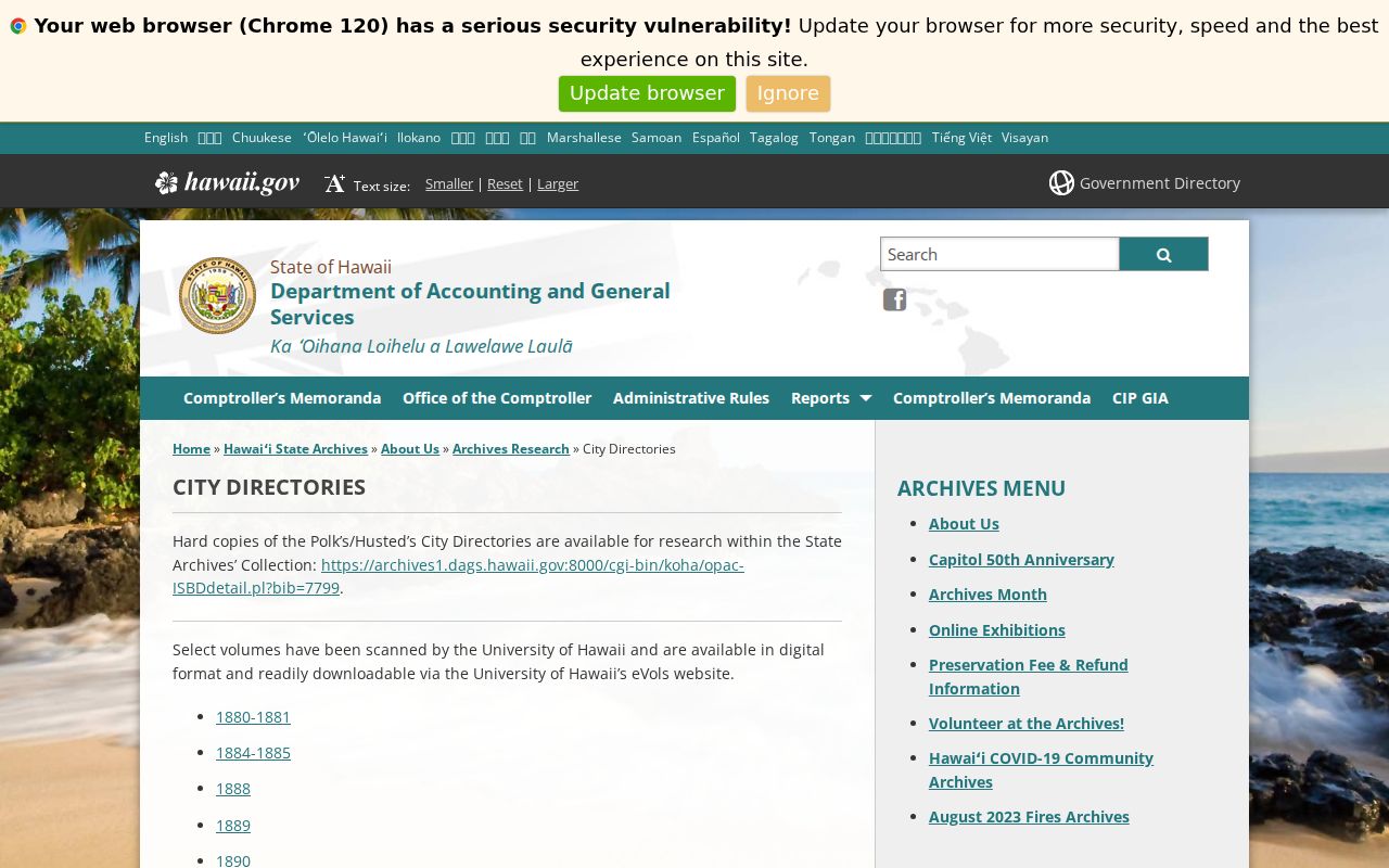
The holdings page helps identify a real edition before a name or address is cited.
For a broader search, review the Hawaiʻi State Archives research guidance and its agency-arranged finding aids.

The finding-aid rule matters because genealogy, Judiciary, census, cemetery, probate, and land material may sit under different record creators.
The Archives forms and fees provide the scan and certification fallback.
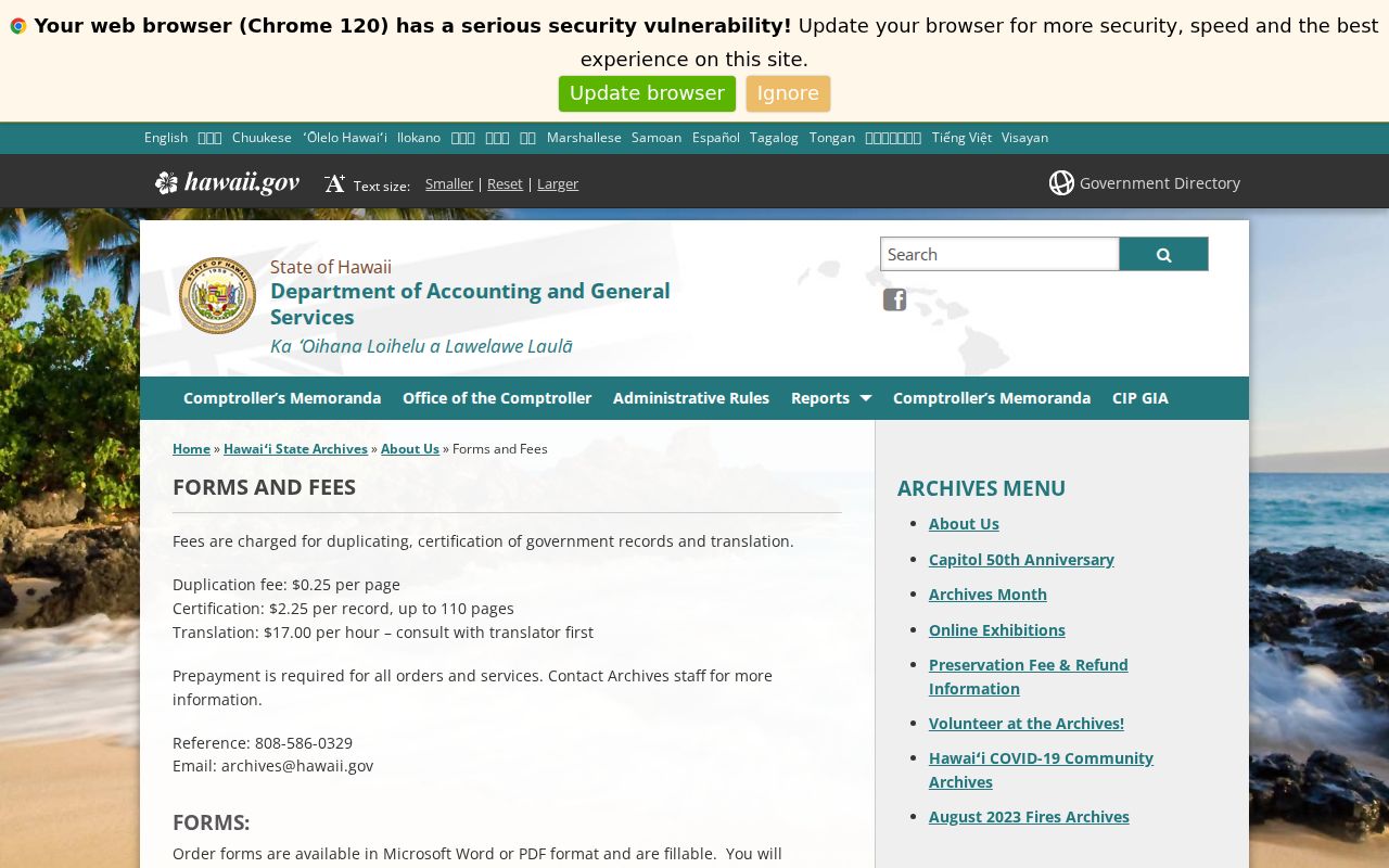
Published rates include $0.25 per duplicated page and $2.25 for certification of a record up to 110 pages, with prepayment required.
Mililani Mauka Past Households
Ownership is only one layer. To ask who lived here before, compare a dated deed or tax role with a directory, census, newspaper, or obituary source from the same period. The Mililani Mauka city directory collections explain the available publishers and runs. No official Honolulu or Mililani criss-cross volume was confirmed in the inspected catalogs, so address-order searching remains a reference-desk question rather than a promised database.
- Set a narrow date window from a deed, permit, or known family event.
- Search the closest directory edition by surname, initials, address variant, and place label.
- Compare the nearest available census return, while noting that older Hawaiʻi schedules may be incomplete or limited.
- Check obituary, cemetery, probate, and newspaper indexes for the last verified name and date.
- Label each result as owner, recorded party, listed householder, permit applicant, or other exact role.
HSA's obituary index spans 1836-1950, and HPLS identifies census microfilm for 1900-1930. Neither establishes a current residence. A directory disappearance may mean a move, death, omission, or coverage change. Use a second dated source before deciding.
Lawful use. Research previous residents for family history, parcel history, or personal curiosity. Never use an address trail to track, threaten, or harass a living person.
Map Gaps in Mililani Mauka
An official Library of Congress search found a 1951 Honolulu Sanborn example but no Mililani or Mililani Mauka title. That gap fits the timing of the planned community, though it does not prove that no relevant map exists anywhere. Do not invent a Sanborn layer or street-renumbering event. No official local renumbering project was found in the research.
Use the modern address and TMK, then bridge backward with the legal description, subdivision or phase name, DAGS plan, permit, and environmental record. Search both Mākaʻikaʻi and Makaikai, and both ʻAinamakua and Ainamakua. Diacritics can vanish in OCR, URLs, and older data fields. Preserve the official spelling in the citation while logging the variant that found the result.
Note: A blank address search may reflect indexing or development date, not proof that nobody occupied the land.
New Mililani Mauka History Indexes
In January 2026, Hawaiʻi State Archives announced that 64 volumes of indexes had been digitized after a project begun in 2020 and completed in 2025. Topics include genealogy, land, court, and cemetery records from roughly the early 1800s through the late 1990s. This is useful for previous-resident research because it can point from a name or date to an archival volume, even when the record image still needs staff help.
The State Archives digitization announcement documents that change.
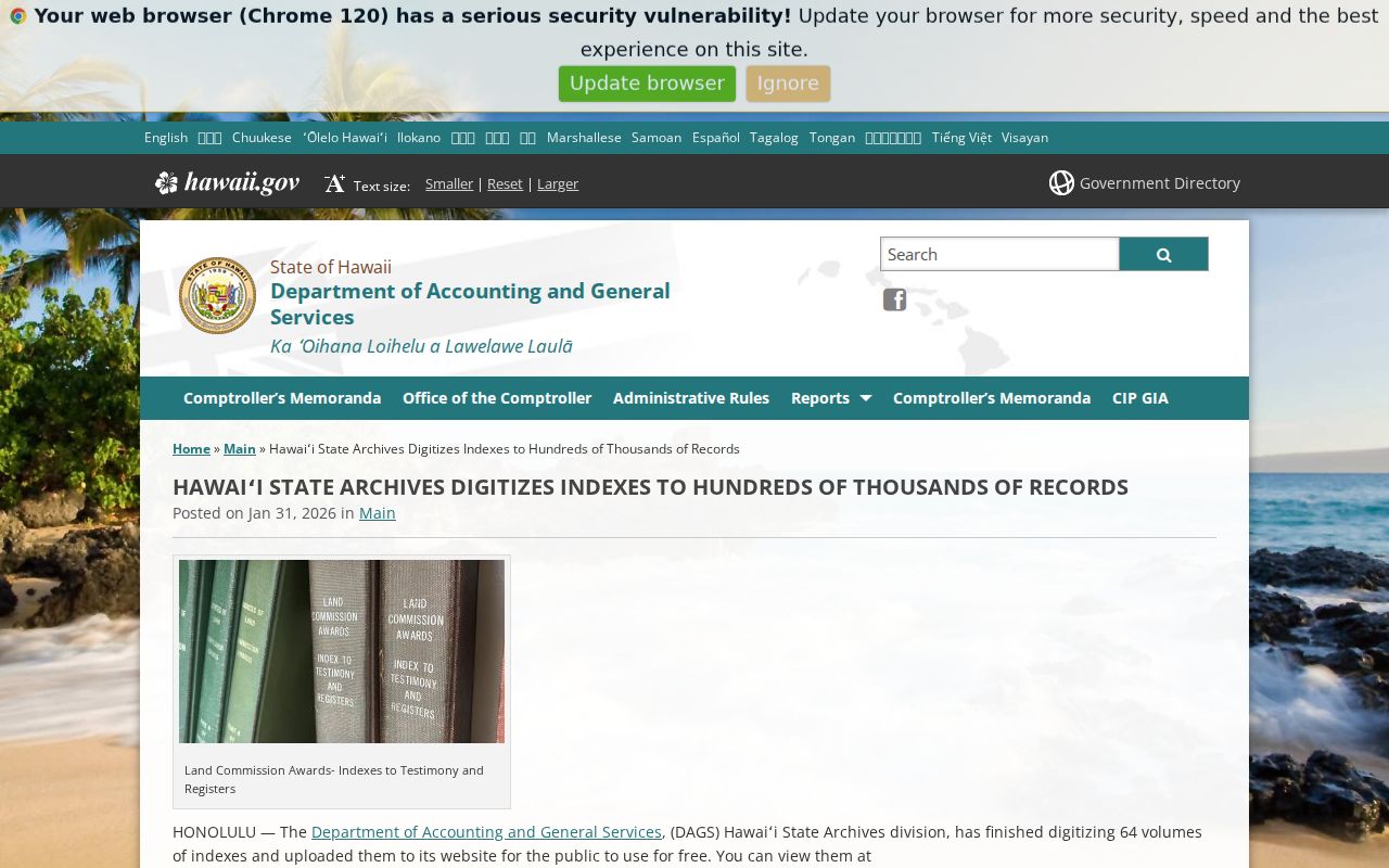
Record the index title, volume, page or item number, date, and access status before requesting the underlying file.
Verify Mililani Mauka Previous Residents
A useful house history distinguishes fact from inference. “Fee owner on the 2025 assessment” is a record role. “Grantee on document X” is another. “Listed at this address in the 1924 edition” is a dated directory statement. None is automatically the same as physical occupancy. This is especially important with trusts, companies, off-site mailing addresses, multi-unit parcels, and family members who shared a surname.
Keep a compact log with source, keeper, exact field, date, identifier, image or copy status, and confidence note. If two records conflict, preserve both and explain the mismatch. For Mililani Mauka, the most credible backward trail usually runs address to TMK, TMK to deed, deed to prior party, and parcel to plan or permit. Household sources can then be attached only where their year and geography agree.
A simple confidence label keeps the result honest. Mark a direct record statement as confirmed, a match supported by two independent sources as well supported, and a name-only or address-only connection as unconfirmed. Recheck paid images or certified copies only when the added authority serves the family or parcel question.