
Record the search date because maps, assessments, permits, and ownership roles can change.
Walk a Mililani Mauka Street
Begin with one complete street address, not a person’s name. The address keeps the search tied to a place while each official system supplies its own identifier. Honolulu GIS establishes the mapped point and street segment. The Real Property Assessment Division, or RPAD, connects that point to a tax map key. The Bureau of Conveyances then uses the tax map key, parties, dates, and document numbers to reach recorded instruments.
- Check the exact mailing string and ZIP through the USPS ZIP Code Lookup. Retain any unit or lot number.
- Search the Honolulu Parcels and Zoning app by address. Save the point, street name, parcel, TMK, and map date.
- Confirm the site address, tax year, parcel role, and value fields through RPAD property search.
- Use the TMK or recorded party in the Bureau of Conveyances index. Note whether the document belongs to the Regular System or Land Court.
- Check permits, plans, and dated civic records only when they answer the address question.
This sequence turns the street directory into a record trail, not an unsupported roster. A tax owner may live elsewhere. A deed party may be a trust or business. A permit contact may have worked on the parcel without ever living there.
Mililani Mauka Address Records
Several custodians index records by an address, street, parcel, or related plan. Their coverage overlaps, but their meanings do not. The table keeps the street-by-street sources separate and shows the fallback when a web search is not enough.
| Record | Local keeper | Street detail | Access route |
|---|---|---|---|
| Address point and centerline | Honolulu GIS | Mapped point, street name, parcel geometry, civic layers | Free HoLIS map |
| Tax parcel | RPAD | TMK, site and mailing fields, owner role, class, values | Free search; office help |
| Recorded instrument | Bureau of Conveyances | Parties, date, TMK, document number, legal description | Online from 1976; older office or written request |
| Permit or plan review | Honolulu DPP | Permit, TMK, work, approvals, reviews, status | Lookup; full file by request |
| Survey or plat | DAGS | Plan, map, subdivision, Land Court references | Free index; copy route varies |
| Board and legislative file | Board 35 or City Clerk | Street and project references in agendas, minutes, testimony | Free archive; UIPA fallback |
For help beyond the portal, call RPAD at 808-768-3799 or DPP GIS at 808-768-8058. The Bureau of Conveyances Public Reference Room handles older material at 1151 Punchbowl Street. A focused request can also seek a specific permit file, map, or street-centerline record under the Hawaiʻi Uniform Information Practices Act.
Note: A site address describes the parcel location, while a mailing address may point somewhere else and must not be treated as occupancy proof.
Search Mililani Mauka in HoLIS
HoLIS is the most useful first map for the Mililani Mauka street directory because it accepts several kinds of place identifiers. The global search reads “Address, Street, TMK, or POI.” Results can be checked against tax parcels, address points, centerlines, neighborhood-board geography, zoning, planning, and flood layers.
| Search field or tool | Input | What it returns |
|---|---|---|
| Address | Street number and name | Address point and nearby parcel |
| Street | Full or normalized name | Centerline segment and fullname |
| TMK | Tax map key | Tax or regulatory parcel |
| POI | Point-of-interest identifier | Mapped regulatory or place record |
| Measure and attribute tools | Map selection | Approximate distance and feature fields |
Layer dates matter. The app announced that its FEMA flood zones became effective June 10, 2026. Save that date when flood lines appear. HoLIS also carries a non-survey warning, so use a DAGS plan or recorded legal description when an exact legal boundary matters.
The official All Parcels feature service adds parcel type, area, plan source, subdivision, and edit-date fields. Those are map attributes, not names of residents.
Spell Mililani Mauka Streets Twice
Hawaiian marks can change a search result. Official sources may display Mākaʻikaʻi while a URL or machine-rendered page shows Makaikai. ʻAinamakua can appear as Ainamakua. Keep the official spelling in a citation, yet try an ASCII form during search. This is especially useful in scanned minutes, old PDFs, portal fields, and text that dropped an ʻokina or macron.
- Save the street exactly as entered.
- Try the form without diacritics.
- Compare Street with St and Drive with Dr.
- Keep the unit, lot, or CPR detail intact.
- Test Mililani, Mililani Mauka, and Launani Valley where a source uses place labels.
Public anchors help confirm the correct segment. Mililani Mauka Elementary is at 95-1111 Mākaʻikaʻi Street. Mililani Town Association Recreation Centers 5, 6, and 7 appear at ʻAinamakua Drive, Konaku Street, and Lehiwa Drive. These sites orient the map without exposing a private household.
Read Mililani Mauka Parcel Terms
A few record terms prevent costly mix-ups. They show why a street address is only one part of the official description.
- Parcel
- A mapped unit of land identified locally by a tax map key, or TMK.
- Situs address
- The physical site address used for the parcel, which may differ from the owner’s mailing address.
- Plat
- An official plan showing lots, streets, and boundaries within a subdivision or land system.
- Criss-cross directory
- A directory arranged by street or address rather than only by surname.
No official Mililani Mauka renumbering project was found. Do not make a conversion table. If an old instrument lacks a street number, bridge it with the TMK, subdivision or phase name, legal description, and DAGS plan number.
Note: Mililani Mauka developed mainly in the late twentieth century, so much older Honolulu directories will not name its later streets.
Mililani Mauka Permits by Address
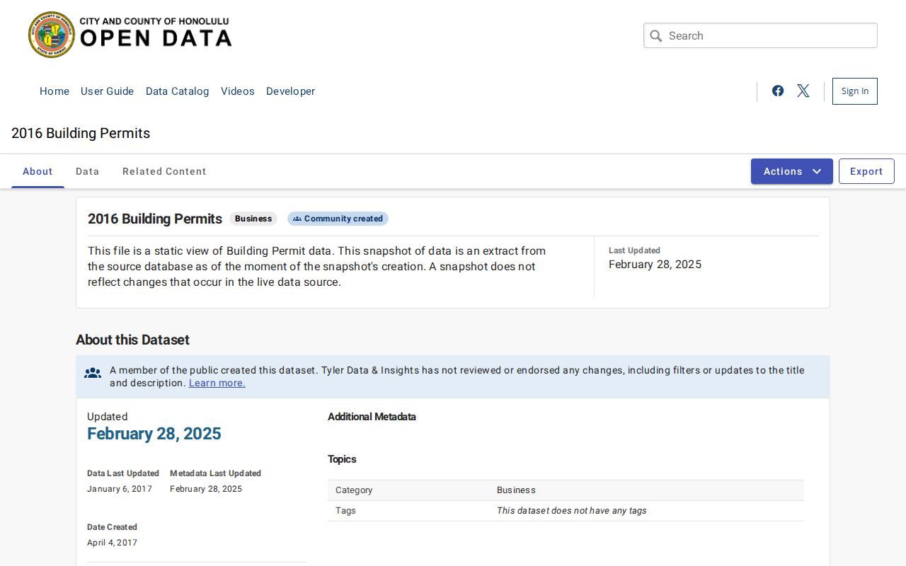
Permit records can date work at a Mililani Mauka parcel. Honolulu DPP’s HNL Build route accepts an application or permit number and a TMK. Public results can show Details, Approvals, and Plan Reviews. The 2016 Honolulu Open Data permit table adds permit number, proposed use, occupancy group, dates, status, estimated value, and floor area.
The 2016 building permits dataset shows how the city exposes address-linked work in a table.
When the summary falls short, request the full file through DPP or the Data Access and Imaging Branch. Ask for a precise permit, parcel, project, or date range. An applicant, designer, or contractor has a project role and should not be labeled as a resident.
Recorded Owners on Mililani Mauka Streets
A parcel’s deed trail is held statewide by the Hawaiʻi Bureau of Conveyances, not by the Honolulu City Clerk. The online index generally reaches from 1976 to the present. It accepts TMK, grantor or grantee, transfer certificate of title, date, and document number. Grantor means the party transferring an interest. Grantee means the party receiving one.
Keep the system, document number, recording date, instrument code, book and page or Land Court reference, parties, TMK, image status, and legal description. A whole street can contain parcels in different systems or subdivisions. Search each relevant TMK instead of assuming one street name retrieves every instrument.
For pre-1976 material, use the Punchbowl reference room or a written request. Supply requester contact, a book and page or document number when known, parties, document type, certified or uncertified choice, mailing address, payment, and any required return envelope. The archive reaches back to 1845, but not all of it is online.
Mililani Mauka Community Map Clues
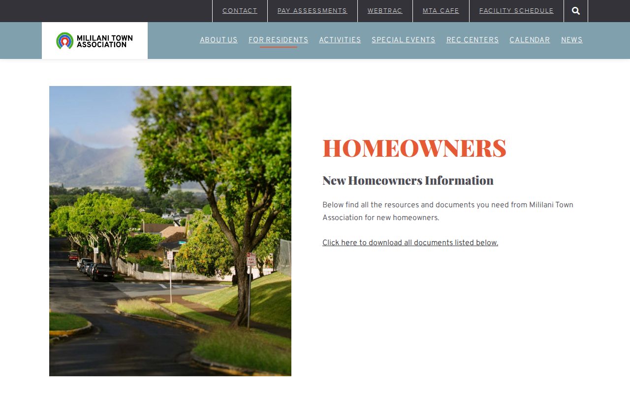
The Mililani Town Association publishes maps, rules, forms, board details, and facility information. Its public material can place a street within a recreation-center zone or planned-community area. MTA is an association source, not the parcel custodian. Cross-check its map against HoLIS, RPAD, and DAGS before stating an official parcel or legal boundary.
The MTA homeowner packet and maps provide a useful local orientation layer.
MTA’s office is at 95-303 Kaloapau Street, phone 808-623-7300, with published weekday hours of 8 a.m. to 4:30 p.m. No public member directory was located. Ask for a map or public form, not member details.
Mililani Mauka Boundary Layers
One street may sit within several official geographies. Neighborhood Board 35 uses Mililani Mauka/Launani Valley. DPP planning material uses a combined planning area. Census geography divides the CDP into tracts named Mililani Mauka Middle School, Mililani Mauka-Meheula Parkway, and Mililani Ainamakua. None is a postal boundary or deed description.
Board agendas and minutes can contain projects, testimony, and public place references. HNLDoc searches city bills, resolutions, ordinances, agendas, minutes, committee reports, and communications. Search a street name, Mililani Mauka, Launani Valley, project, or measure number, then confirm the date and jurisdiction.
Public testimony may contain contact details submitted for a proceeding. Cite the meeting and topic when useful, but do not republish private details or treat testimony as residence proof.
Offline Mililani Mauka Street Search
A failed portal is not the end of the street directory. Mililani Public Library offers reference help, computers, newspapers, and copying at 95-450 Makaimoimo Street, phone 808-627-7470. DPP, RPAD, and City GIS counters can route parcel and permit questions. The Bureau of Conveyances reference room handles older recorded material, while DAGS supplies plan and map indexes.
For a city record that is not posted, send a focused UIPA request to the office that keeps it. Name the street or TMK, record type, date range, and format. The agency may clarify scope, redact exempt parts, estimate costs, or deny access under a legal basis. UIPA cannot override deed-image charges or specific confidentiality rules.
Historical reverse-directory material is limited. State Archives and public libraries hold Honolulu directory runs, but no dedicated Mililani Mauka criss-cross service was found. Use the Mililani Mauka city directory collections only where the year fits the community’s development.
Limits of Mililani Mauka Street Records
No official complete roster of current Mililani Mauka residents was located. RPAD gives a tax ownership role, not household members. HoLIS maps places, not people. USPS standardizes a delivery address but says its lookup does not confirm that a person or company is there. Deeds identify recorded parties, and permits identify project roles.
OLVR is a person’s registration and status tool that requires identity data, not a public by-street browser. Hawaiʻi law protects identification details and confidential registrations. Utility customer lists were not found, and federal law restricts motor-vehicle address data. Renters, relatives, visitors, and other occupants may be absent from every public source.
Lawful use. Use Mililani Mauka address records for a specific, lawful personal purpose. Stop when a confidential or substitute address appears, and never use a street search to stalk, harass, intimidate, or harm anyone.